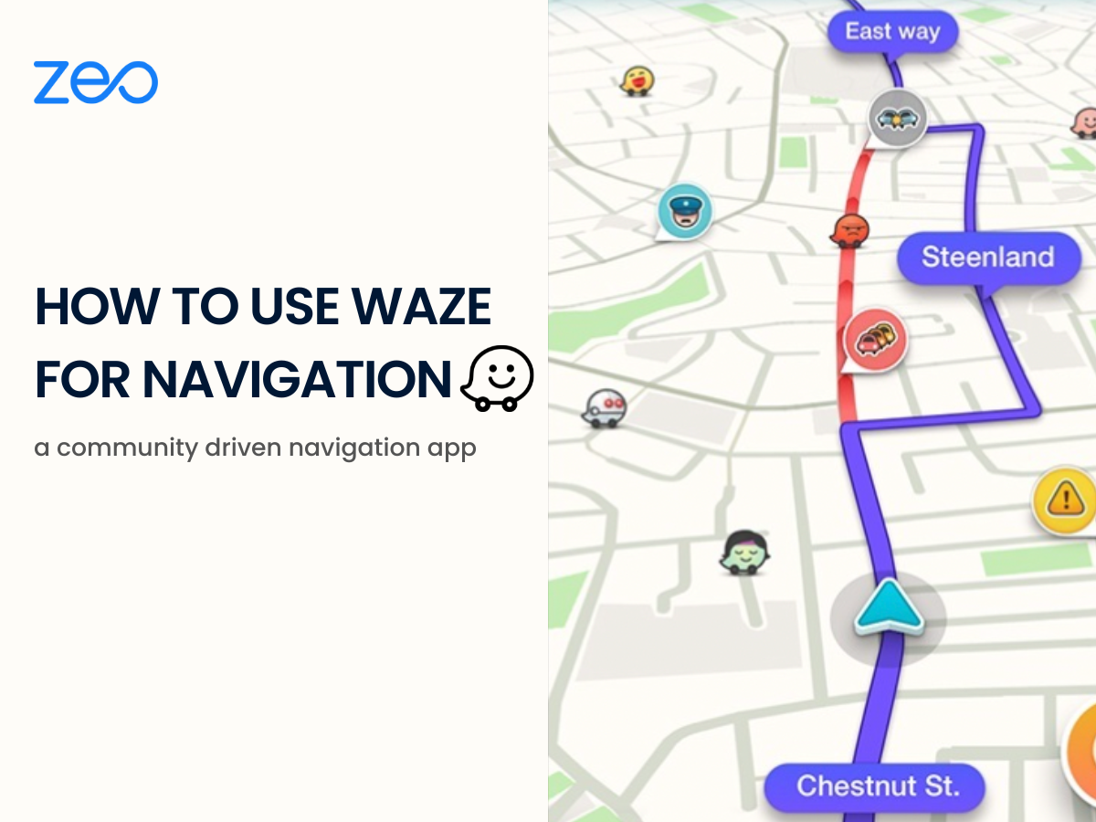
Waze is a GPS navigation app that allows users to exchange current road and traffic updates. Using Waze app is based on a crowdsourcing system. The users provide information to improve the app’s usability for all. Drivers using the platform share information about the traffic and road conditions to keep others informed. This makes Waze a community-driven navigation app. Its user-friendly interface and features make using Waze easy and simple.
How to Use Waze for Navigation
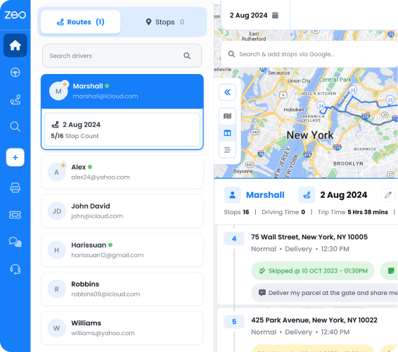
- Set a Destination
As you open the Waze app, you can click on “Where to” that appears in a search bar. You can then enter the address or name of the destination you want to go to. After that, you can select the right destination from the options that appear in the search results.
- Start a Trip
After choosing your destination, you can hit the “Go now” button to start your trip. Once you have started your trip, Waze will provide you with turn-by-turn directions and real-time traffic updates. This will help you reach your destination on time.
- Customize your Routes
You can also customize your route preferences by adjusting the settings in the navigation menu. The options include choosing or avoiding highways or selecting the fastest or shortest route. Waze offers voice directions and command features to offer a customized travel experience.
Read More: 5 Common Route Planning Mistakes and How to Avoid Them. - Avoid Tolls and Dirt Roads by using Waze
Waze has a feature to avoid tolls or dirt roads. All you need to do is tap the options to avoid toll roads, ferries and freeways as per your needs. Additionally, you can also avoid difficult intersections for a smooth journey.
- Waze Integrations
Using Waze for navigation becomes a better experience because of the various integrations it offers.- Spotify/apple music: Listen to your favourite music and podcasts.
- Facebook: Share your location with your friends.
- Calendar: Plan your upcoming events.
- Contacts: Share your ETA via SMS, Whatsapp, or email.
- Weather: Get real-time updates on weather conditions.
- Protect your Privacy using Waze
While using Waze for navigation, you can control the information that is shared. Go to Settings > Privacy to adjust the controls. You can make yourself appear invisible on the map. This will not let anyone track you through the app. You can also erase any addresses that the app has saved so no one can track your travels.
Additional Features that Make Using Waze Convenient
- Real-time Alerts
Using Waze will give you real-time updated information about the road and traffic conditions. It also provides instant alerts about possible road construction or repair work, traffic congestion and accidents. - Voice Assistance
Using Waze for navigation comes with with turn-by-turn voice assistance. You can download and use the audio recorded by the same actors who provide the voices for kids’ TV show, Paw Patrol. - Speedometer to Stay Within the Limit
Using Waze app for navigation will also help you avoid crossing the speed limit. The app updates the speed limit for every route. You can avoid any violation tickets throughout your journey. - Control without Switching Apps
You can sync Waze with your vehicle. This helps you to avoid switching apps while driving. You can simply use a USB cable to connect your phone to the vehicle. The Waze app will then open automatically. - Gas Station & Parking Spot Locator
Waze helps you in situations when you are about to run out of gas or unable to find a parking. The app will show you the nearby gas stations along with the rates and also available parking spots.
Read More: Now Navigate from Zeo Itself – Introducing In App Navigation for iOS Users.
The Difference Between Waze and Google Maps
| Waze | Google Maps |
| Waze is community-based. | Google Maps is data-based. |
| It is generally used for transport and travel. | It is used for walking and driving. |
| Waze requires data connection. | Google Maps can be used offline as well. |
| Waze offers a sleek and minimal interface | It uses a traditional navigation interface. |
| Waze offers a high level of customization. | Google Maps doesn’t offer complex customization. |
Conclusion
Using Waze for navigation will make your journey smoother. Drivers and fleet owners must use a route planner that easily integrates with such navigation apps. This will help drivers optimize their routes and complete their deliveries faster.
Zeo offers seamless integration with various navigation apps including Waze, Google Maps, Tom Tom Go and more. Zeo route planner helps you choose the navigation app that you are familiar and comfortable with. You can download the Zeo app for your Android (Google Play Store) or iOS devices (Apple Store) and embark on a seamless journey with optimized routes.
Are you a fleet owner?
Want to manage your drivers and deliveries easily?
Grow your business effortlessly with Zeo Routes Planner – optimize routes and manage multiple drivers with ease.
increase fuel savings
Save 2 Hours on Deliveries, Everyday!
Optimize routes with our algorithm, reducing travel time and costs efficiently.
Get Started for Free