Google Maps is a web mapping service developed by Google. It allows users to view maps and satellite imagery, as well as provide information on directions, traffic conditions, and local places to visit. Users can also use Google Maps to plan routes for driving, walking, cycling, or taking public transportation. Drivers can easily add multiple destinations and customer routes using Google Maps.
Adding Destinations using Google Maps
- Computer
- Open the Google Maps web application.
- Click on ‘Search Google Maps’ to enter your destination.
- Enter the destination by either pinning points on the map or typing in the search bar.
- Finally, select the mode of your transportation.
- Android & iOS
- Open the Google Maps app. In case you don’t have it, download it from the Play Store (Android) or from the App Store (iOS).
- Enter your destination in the search bar or tap on it on the map.
- In the bottom left section of the screen, click on Directions.
- Select your mode of transportation.
- You can also pin your favourite routes by tapping on the Pin icon at the bottom of the screen.
If you wish to choose another route in any transportation mode, simply select it on the map. Each route will show the estimated travel time for you to make an informed decision.
Different Transporation Modes in Google
You can get the routes to your destination with different modes of transportation in Google Maps. You can also add multiple destinations and customize your route using Google Maps. The different modes of transportation available are – Driving, Transit, Walking, Ride, Cycling, Flight, and Motorcycle.
The driving routes are designed for car drivers and may navigate for car-only routes. The transit mode helps you navigate using the public transport services available in the area. You can compare the transit options with taxi or cab services with the ride mode of transportation.
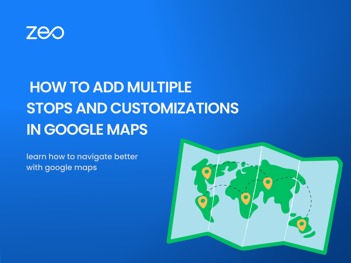
How to Add Multiple Destinations using Google Maps
Using Google Maps, you can add multiple destinations and navigate through the routes easily.
- Open the Google Maps app on your device.
- Enter your destination in the search bar or tap it on the map.
- Tap on Direction in the bottom left of the screen.
- From the top right of the screen, tap on More >> Add Stops.
- Choose and add multiple destinations. Google Maps allows you to add up to 9 stops.
- Once you add multiple destinations, tap on Done.
- You can also reorder the stops after you add multiple destinations.
- Simply choose the stop you want to move and hold Reorder.
- Drag the stop to the position you want.

increase fuel savings
Save $200 on fuel, Monthly!
Optimize routes with our algorithm, reducing travel time and costs efficiently.
Get Started for Free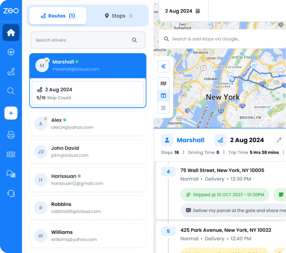
Related Read: Free route optimization on Google Maps
How to Customize Your Route using Google Maps
- Avoid Tolls & Highways
Google Maps allows you to add multiple destinations and customize your route. You can avoid tolls and highways on your route and make the journey more efficient and fast. To avoid tools and highways, you can simply top More in the top right corner of the screen and select Route Options. Then turn on Avoid Tolls or Avoid Highways option and you will be able to customize your route after adding multiple destinations. - Change your Start and End Stop
When you add multiple destinations, your current location becomes your start stop by default. You can easily change the start location of your route. In the bottom left corner of the screen, tap on Directions and edit the starting point by tapping on Your Location. - Change your Start Time
You can change the travel time before you leave, based on the estimated traffic and transit schedule. To set the start time, tap on Directions > More > Set Depart or Arrive time. To change your start time, select Depart at or Arrive by.
How to Create a Radius on Google Maps
If you add multiple destinations, creating a radius on Google Maps will allow you to determine the distance between any location and other specific markers/stops that are located in the radius. To create a radius on Google Maps, you can follow these steps:
- Open Google Maps on your computer or mobile device.
- Search for the location you want to create a radius around.
- Right-click on the location and select “Measure distance” from the menu.
- Click on the map to create a starting point for your radius.
- Drag the cursor to increase or decrease the radius distance.
- The radius will be displayed as a circle around the starting point, with the distance shown in the measurement box.
- You can also change the unit of measurement by clicking on the measurement box.
You can read more details on how to draw/create a Radius on Google Maps here.
Conclusion
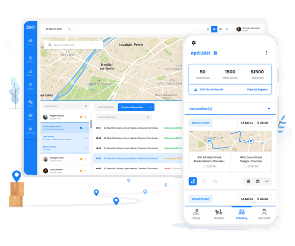
To make the best use of navigation apps, you should use a robust route planner like Zeo. It offers seamless integration with various navigation apps including Google Maps, Waze Tom Tom Go and more. Using Zeo gives you the flexibility to choose the navigation app that you use. Download the Zeo app for your Android (Google Play Store) or iOS devices (Apple Store) to optimize your routes.
Are you a fleet owner?
Want to manage your drivers and deliveries easily?
Grow your business effortlessly with Zeo Routes Planner – optimize routes and manage multiple drivers with ease.
increase fuel savings
Save $200 on fuel, Monthly!
Optimize routes with our algorithm, reducing travel time and costs efficiently.
Get Started for Free