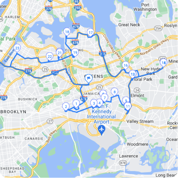
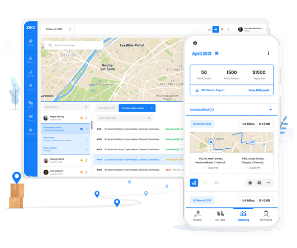
Arguably the most popular navigation application currently available on mobile devices and desktops, Google Maps connects users to real-time navigation, covering 98% of the globe. It works by highlighting the fastest route between two points while factoring in traffic, construction, accidents, and other logistics. That’s not to say the program isn’t without its drawbacks or limitations. For example, Google Maps doesn’t provide route optimization, radius maps, or other critical factors for business at this time.
That’s not to say it’s not possible to create these items; users need to integrate third-party software to do so. For example, Google Maps doesn’t offer radius functionality within the application, determining the distance between the circle’s edge and the map’s center.
Using a Third-Party Program
Many third-party programs allow integration with Google Maps, bringing radius functionality to virtually any business. The radius option will enable you to draw a circle in miles or traveling distance (in time) from any specific location, incorporating all directions up to the maximum. The radius map tool allows users to determine distances between a location and specific markers that fall within the area. The radius tool will create a circle surrounding the specified point on your map, while the drive time option will produce a polygon shape. The polygon will include any areas within the specified time. Most programs allow multiple radii on a given map, allowing each to be exported from the radius individually or simultaneously.
To create a radius on Google Maps, you’ll need a program that allows Google Map integration. Open the program and find the map you’d like to use. Open the tools within the program and select the distance radius or drive time polygon tool. Select the starting location for your radius.
This is the reference point, meaning the circle or polygon will formulate outside this specified point. Click on the map and create a popup marker to select the point. From there, opt for the “Draw Radius.” Choose the proximity distance from the given address found within the radius options in the software.
Once settings are entered, a map will show the highlighted parameters on the map. If you’re looking to export addresses within your database within the radius, click within the circle and select the export locations functionality. This option will create a separate database of customers/clients within the specified region.
What Details do Radius and Proximity Tools Offer?

increase fuel savings
Hassle Free Deliveries & Pickups!
Optimize routes with our algorithm, reducing travel time and costs efficiently.
Get Started for Free
A radius tool determines distances between a central location and a specified boundary (determined by time or distance). This information offers proximity analysis using location data. Users can determine how far a specific map point is from others or determine how many issues exist within multiple data points. The integration of radius maps depends on the program used. Some programs allow one radius point at a time, while others enable numerous circles simultaneously.
Always confirm the program functionality before ensuring that your program matches your needs. If you’re trying to determine the boundaries and territories of the sales team, multiple radius tools are often helpful features. You can evaluate the current customer base according to set territory guidelines (for example, having a 25-mile radius for all representatives) and whether the current consumer territory sits equally among representatives.
Use Mapping Software with Google Map Integration Google Maps bring up-to-date information, accuracy, and development simultaneously. Most mapping programs work through cloud-based options; it connects through Google Maps, updating in real-time. Some programs will only work when the application is open (which may require updates), while others remain online all the time. When choosing a third-party program, look for integration with different devices. Consider how you’re going to use the software and what team members need access to the information.
Are staff needing optimized route functionality? Do your sales teams want to optimize territories?
Different team members require separate access, often on multiple devices. Find a program that matches your needs, starting with the ability to access the program. Look for a program that works on Android and iOS, whether a cell phone, tablet, or personal computer.
You’ll also want to consider the program’s overall functionality too. While many mapping programs offer extensive features, if they’re not user-friendly, they’re not going to be used. Determine which attributes are mandatory for your company and which services aren’t as important.

Are you a fleet owner?
Want to manage your drivers and deliveries easily?
Grow your business effortlessly with Zeo Routes Planner – optimize routes and manage multiple drivers with ease.

increase fuel savings
Hassle Free Deliveries & Pickups!
Optimize routes with our algorithm, reducing travel time and costs efficiently.
Get Started for Free


